 vesseltracker.com
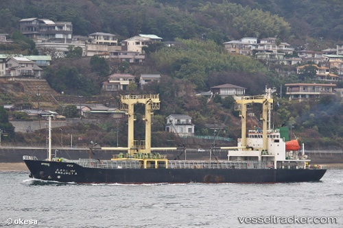
Vessel PROJECT A IMO: 9170913, MMSI: 314623000 General Cargo Ship
Live AIS position:
UTC. Unknown location),
updated UTC.
Find the position of the vessel PROJECT A on the map. The latter are known coordinates and path.
marine traffic ship tracker show on live map
Currently sailing under the flag of Barbados
PROJECT A built in 1997 year
Deadweight:
4999 tDetails:
